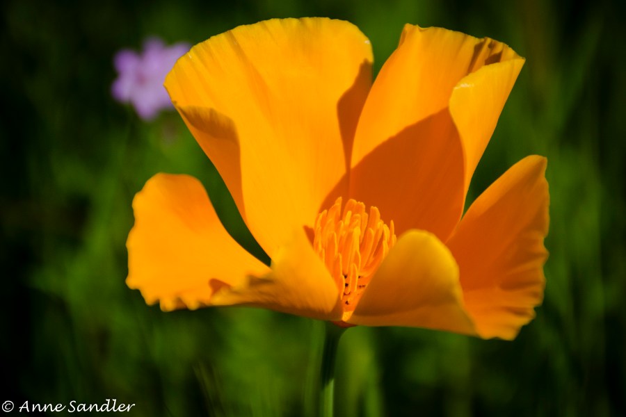
The more I shoot, the further behind I get in editing! Right now I’ve got three photo outings still to edit, and I’m going out to shoot tomorrow. The more I understand what processing software can do and the more I load onto my computer, the longer it takes me to edit individual images.
And, then there’s the fact that I’m shooting better images–more to edit. I’m getting better at tossing out a lot of them and getting more critical of my work. I’m at the point of saying to myself, “If someone else posted this, would I think it was outstanding?”
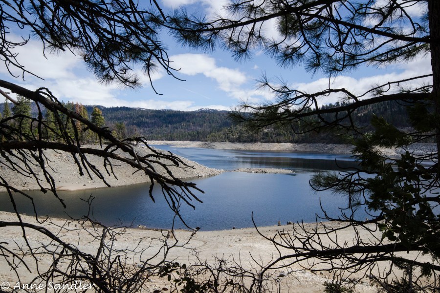
I guess it’s great to have this problem! And, it’s great to have friends like Sandy and Ken who devoted two days to taking me and Marlene on a fantastic photo journey. Today’s post is on our journey to Cherry Lake on Cottonwood Road and on Highway 120. We opted to skip visiting Yosemite because of rain in the Park. But, we were near it, and Ken probably drove many more miles.
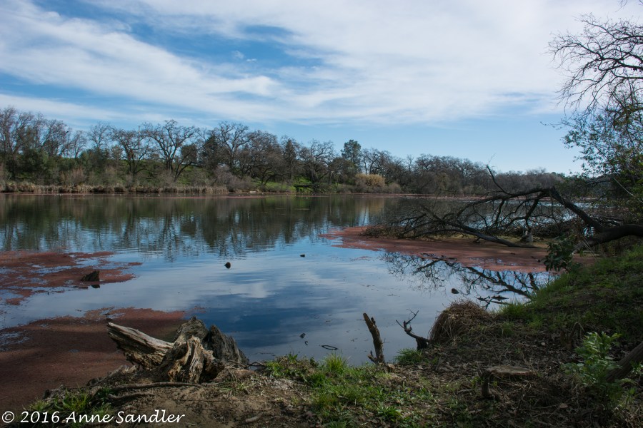
Those miles took us to Cherry Lake a man-made lake about 25 miles east of Sonora. This lake is large and is a favorite for boating, etc. It was effected by the Rim Fire in August 2013. You’ll see some of that devastation in my images.
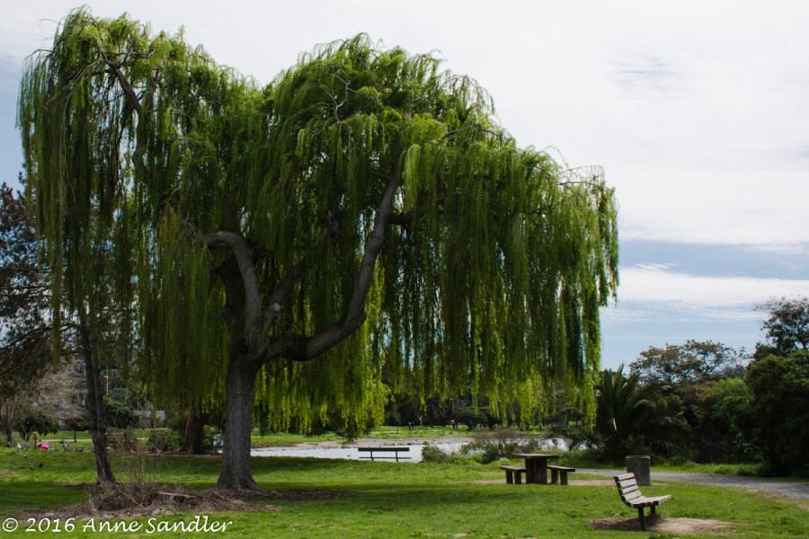
We also stopped at Rainbow Pool where I practiced again with my neutral density filter. Sandy and Ken hadn’t been up as far as Cherry Lake so it was an adventure for all of us. After lunch, we visited Columbia State Historic Park. Set in an old the old Gold Rush era of the 1950s, Columbia is a real town that has been preserved with shops, restaurants, and hotels.
We enjoyed the day and reliving it through the editing process–shoot, edit, post. That’s my life and I love it.