It’s been a rough time for this blogger. All I can say is don’t get rear ended by a large pickup and trailer. I’ve kept up with my Lens Artists posts but neglected my regular blogs. So let’s pick up where I left off in Lassen NP.
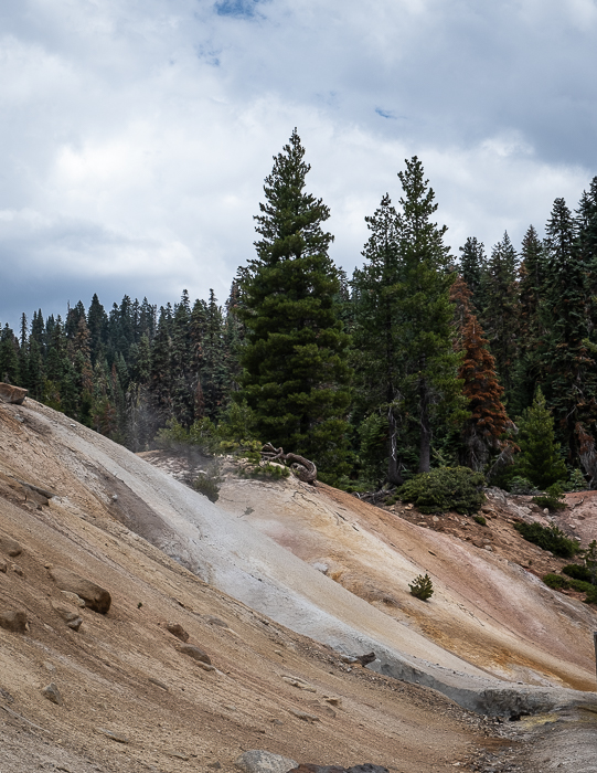
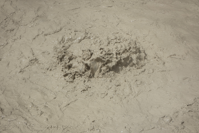
You can’t smell the sulphur aroma, but you can see the bubbles and maybe the smoke coming up. The Sulphur Works “is a vent for the last rumblings of a long-dead volcano and yet it is also reborn each day as forces of erosion and hydrothermal activity continuously alter the landscape. Although named after the chemical element of sulfur—which is a byproduct of the hydrothermal system—the area bears the British English spelling of the word assigned by a pioneer that once laid claim to what was then known as Supan’s Sulphur Works.”


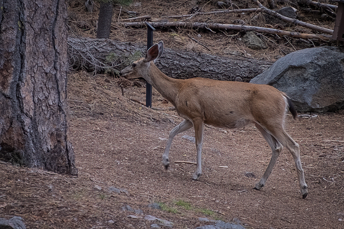
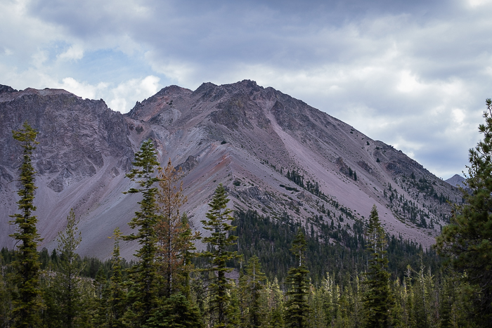
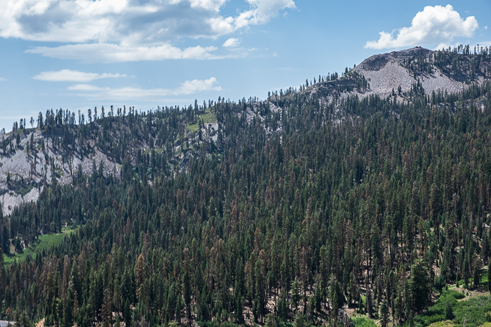
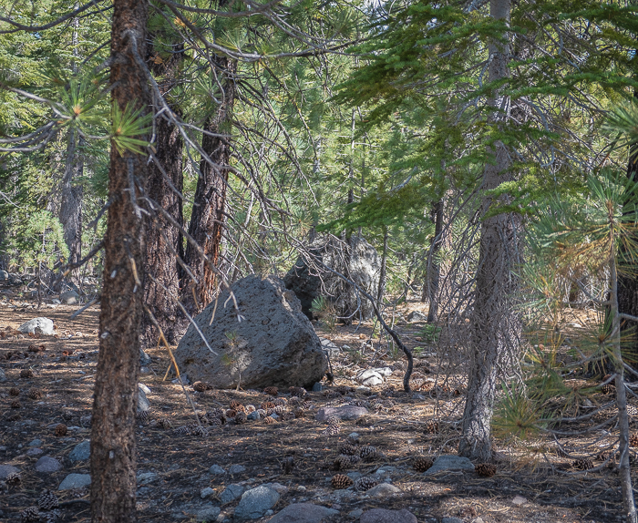
On the way back to our campground near Manzanita Lake, I was able to take a few pictures showing the devastation from the fires. It’s still beautiful and sad at the same time.


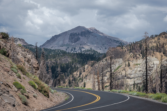


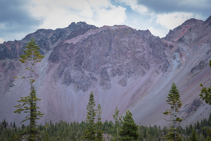
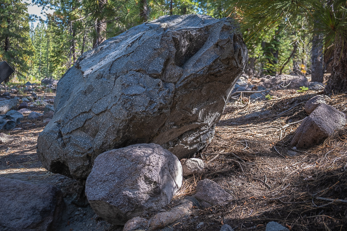
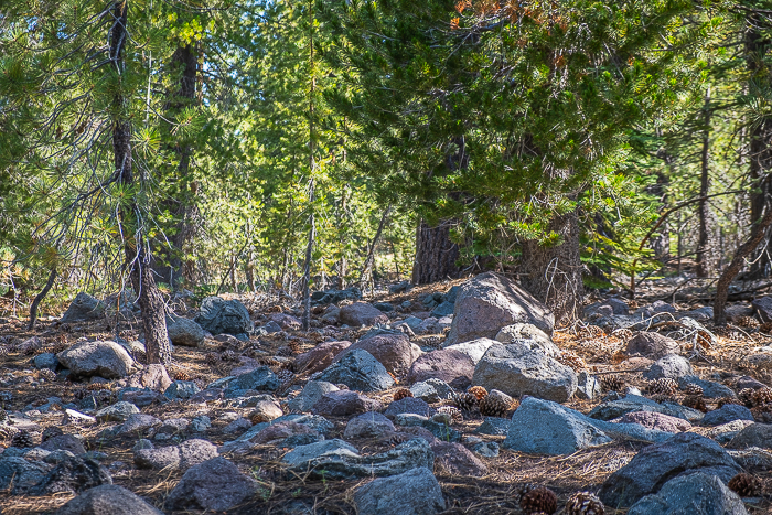
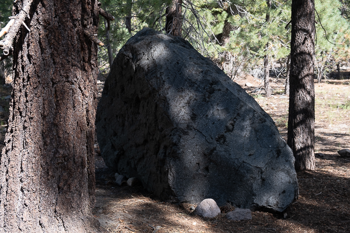
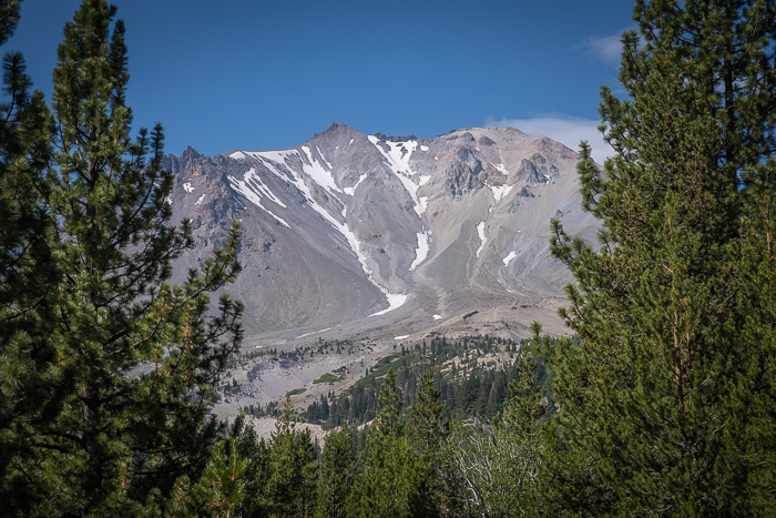
I’ll finish up Lassen NP with a short tour of the Devastated Area–not connected with the recent fires, but the eruption of Lassen Peak’s 1915-1916 eruption. The short trail has voice explanations throughout and was interesting. Just push the button and learn!


This ends our visit to Lassen NP. I hope I’ll be able to get out in the trailer soon. In the meantime, there’s a lot to photograph around home.